Discover outdoor activities
routes filtered
Only my favorites
Delete filters
Around me :
< 5km
< 10km
< 25km
< 50km
Inactive
Difficulties :
Easy
Medium
Difficult
Expert
Durée :
<1h
1-2h
2-3h
3-4h
>4h
Distance (km) :
<10
10-25
25-50
50-75
>75
Distance (km) :
<25
25-50
50-100
100-150
>150
Elevation gain (m) :
<500
500-1000
1000-1500
1500-2500
>2500
Elevation lost (m) :
<500
500-1000
1000-1500
1500-2500
>2500
Tags :
Areas :
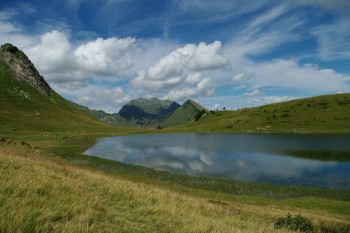
Lac de Roy
6.9km 293m 290m
Mieussy
Route closed
6.9km 293m 290m
Mieussy
Route closed
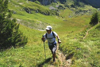
Tour of Haute Pointe
8.2km 472m 473m
Mieussy
Route closed
8.2km 472m 473m
Mieussy
Route closed
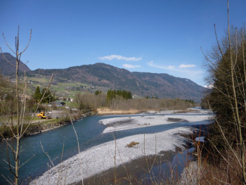
The Giffre Loop
19km 611m 610m
Taninges
Route opened
19km 611m 610m
Taninges
Route opened
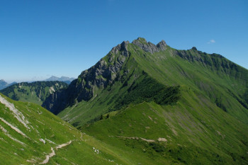
Chavasse and Chalune
15.5km 1210m 1210m
Mieussy
Route closed
15.5km 1210m 1210m
Mieussy
Route closed
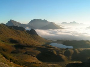
ECOTRAIL Praz De Lys / Sommand - 20km
20.5km 1273m 1271m
Mieussy
Route closed
20.5km 1273m 1271m
Mieussy
Route closed
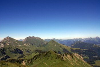
Grand Tour of Praz de Lys Sommand
46.2km 3472m 3470m
Taninges
Route closed
46.2km 3472m 3470m
Taninges
Route closed
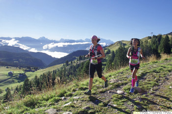
ECOTRAIL Praz De Lys / Sommand - 50km
49.5km 3291m 3297m
Mieussy
Route closed
49.5km 3291m 3297m
Mieussy
Route closed
International
France


