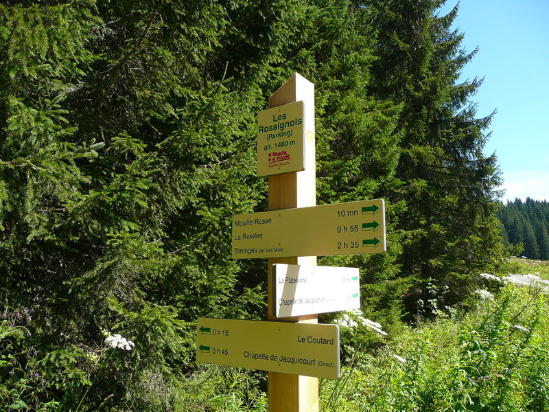
Plateau de Loëx loop
Add to my favorites

Route closed
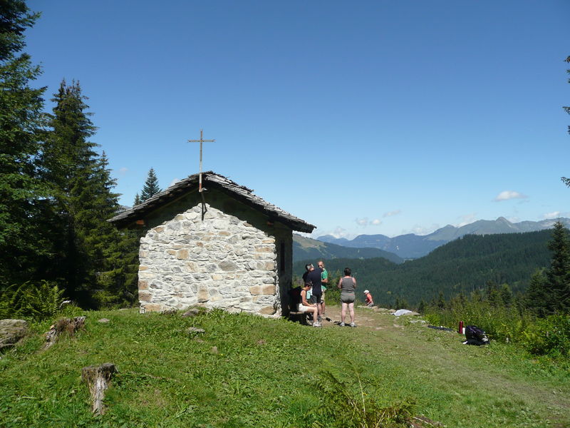
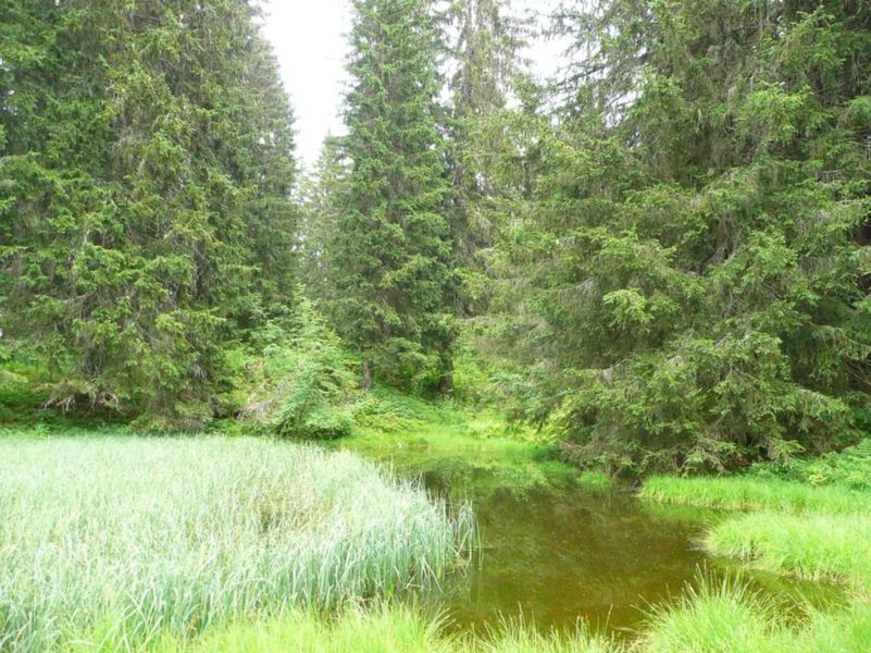
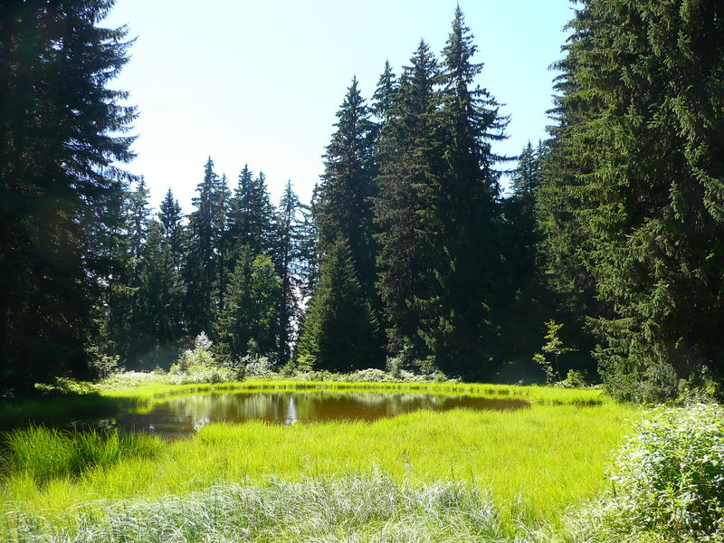
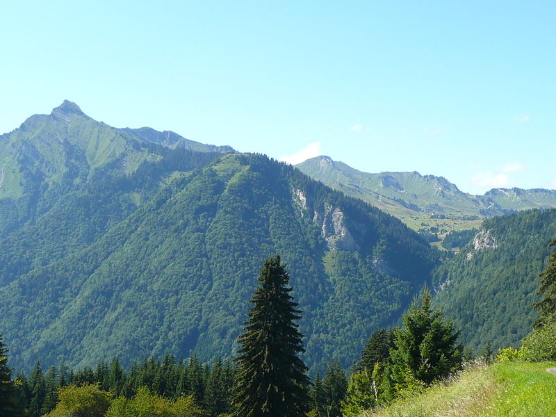
This family-friendly loop takes you through a wild natural environment, with the added bonus of the pretty Jacquicourt Chapel.
The characteristics of the route.
Taninges (74)
- Distance 4.7 km
- Elevation gain 190 m
- Elevation lost 190 m
- Min. elevation 1448 m
- Max. elevation. 1603 m
- Duration (depending on pace) 1h20
- Marking Yes
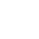
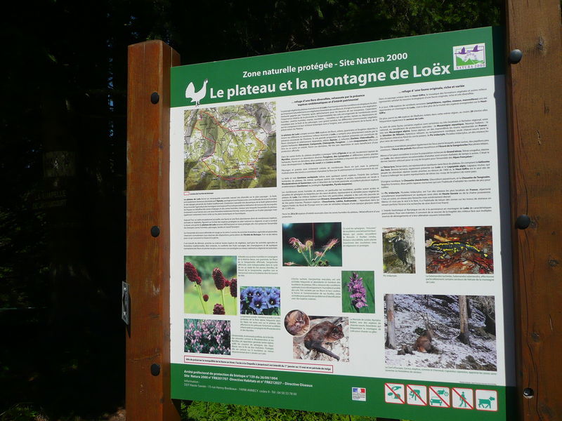
The Plateau de Loëx is a protected Natura 2000 area. There are some remarkable plant and animal species here. Jacquicourt Chapel was built in 1679 and it marks the border between Taninges, Verchaix and Les Gets. The same year it was destroyed due to dispute over the border lines between pastures. It was then rebuilt according to the original plans between 1986 and 1989, therefore putting an end to six centuries of conflict.Equipments : Car park, Admission fee : Free access.Opening : From 15/05 to 15/11.
Subject to favorable snow and weather conditions.
Read before you go!
Adapt your equipment according to your level and the weather. Do not leave the marked trails.
Adapt your equipment according to your level and the weather. Do not leave the marked trails.
Area : Taninges
Report a problem Add a comment
Boucle du Plateau de Loëx Pdf file
Add your time and share your feelings


Information updated on 2022-09-27 by Conseil Départemental de la Haute-Savoie


Follow us on
the digital trails
the digital trails


![]()
Infos & contacts
Praz de Lys Sommand Tourisme
www.prazdelys-sommand.com
04.50.34.25.05
accueil@prazdelys-sommand.com


OK
Annuler