The Giffre loop
Add to my favorites

Route opened
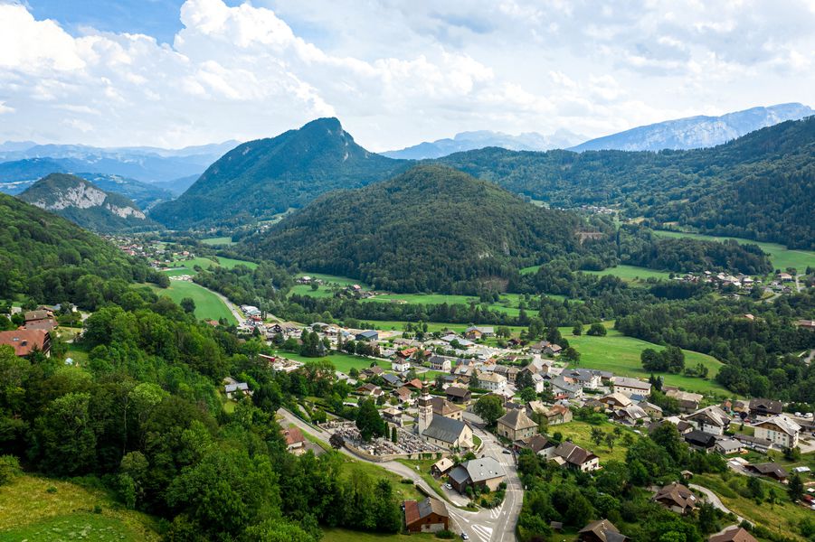
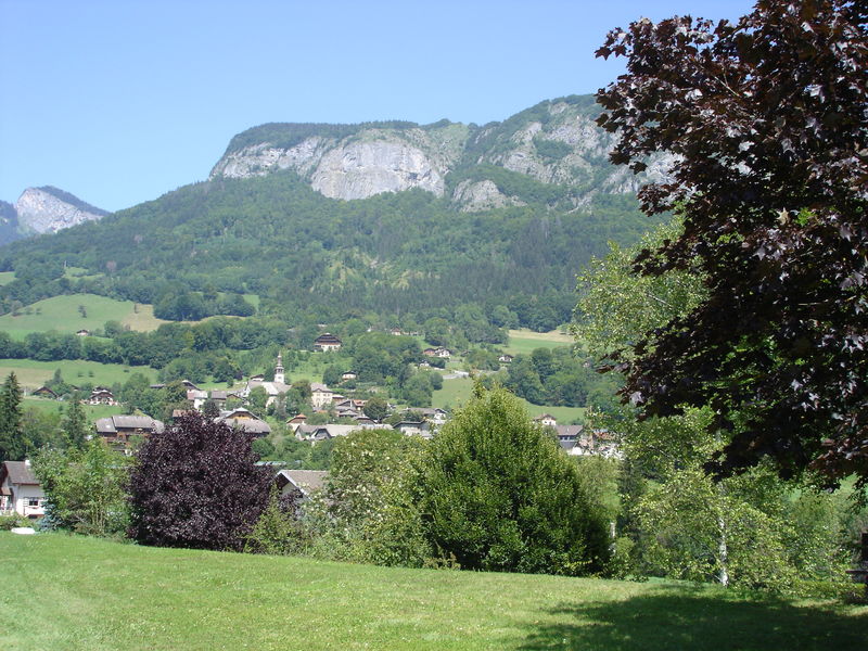
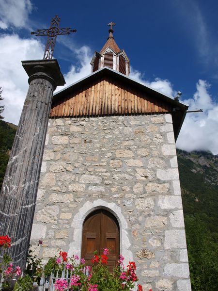
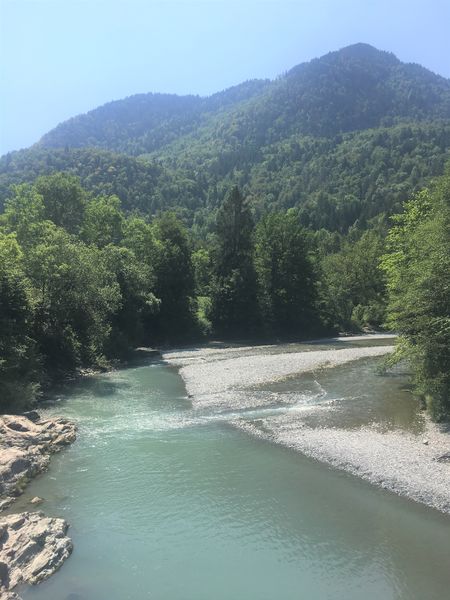
Trail between the villages of Taninges and Mieussy, along both banks of the Giffre. Long and varied itinerary through forests, villages and rivers!
The characteristics of the route.
Mieussy (74)
- Distance 19.6 km
- Elevation gain 510 m
- Elevation lost 510 m
- Min. elevation 592 m
- Max. elevation. 858 m
- Duration (depending on pace) 5h35
- Marking Yes
Equipments : Picnic area, Public WC, Car park, Admission fee : Free access.Opening : All year round.
Subject to favorable snow and weather conditions.
Read before you go!
Adapt your equipment according to your level and the weather. Do not leave the marked trails.
Adapt your equipment according to your level and the weather. Do not leave the marked trails.
Area : Mieussy
Report a problem 1 comment
La boucle du Giffre Pdf file Antho_Trail
finished in 01:49:00
The 2022/02/20
En savoir plus
Ajouter votre chrono et partager vos sensations
2022/02/20 01:49:00
Antho_Trail
Antho_Trail
2022/02/20 01:49:00
Antho_Trail
Antho_Trail


Information updated on 2022-09-27 by Praz de Lys Sommand Tourisme


Follow us on
the digital trails
the digital trails


![]()
Infos & contacts
Praz de Lys Sommand Tourisme
www.prazdelys-sommand.com
04.50.34.25.05
accueil@prazdelys-sommand.com


OK
Annuler