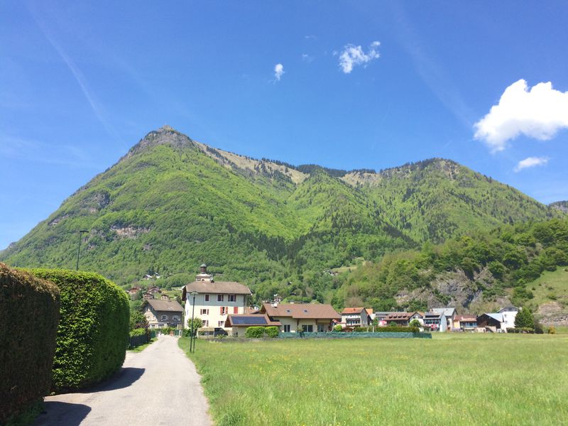
The Pic de Marcelly via Le Planey
Add to my favorites

Route closed
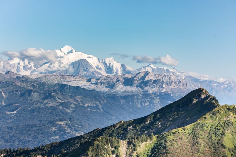
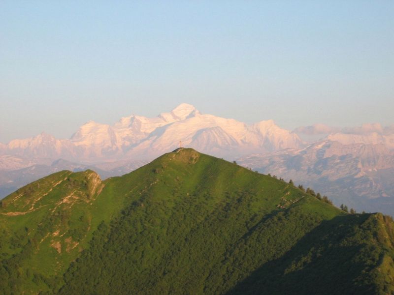
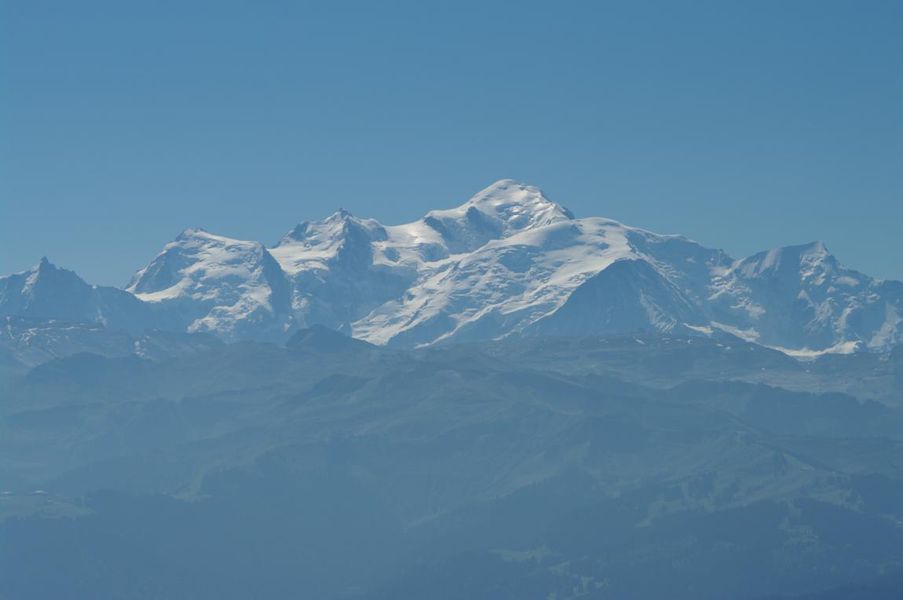
Mid-mountain trail with some remarkable views overlooking the surrounding valleys and mountains, Mont-Blanc, Jura, Bornes-Aravis...
The characteristics of the route.
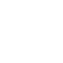
Taninges (74)
- Distance 6.3 km
- Elevation gain 560 m
- Elevation lost 560 m
- Min. elevation 1478 m
- Max. elevation. 1987 m
- Duration (depending on pace) 3h30
- Marking Yes
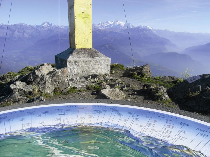
Along this loop, there are numerous viewpoints over the Chablais mountains, Mont-Blanc, the peaks of the Haut-Giffre and the Aravis mountains. As soon as you begin this trail, there’s a breath-taking view over the peaks of the Haut Giffre from a small bench in Le Planey. At the summit of the Pic de Marcelly, there’s a panoramic map on an orientation table!Equipments : Car park, Good plans : Possibility to do the loop of Lake of Roy when you return back.Admission fee : Free access.Opening : From 15/06 to 15/11.
Subject to favorable snow and weather conditions.
Read before you go!
Adapt your equipment according to your level and the weather. Do not leave the marked trails.
Adapt your equipment according to your level and the weather. Do not leave the marked trails.
Area : Praz de Lys
Report a problem Add a comment
Le Pic de Marcelly par le Planey Pdf file
Add your time and share your feelings


Information updated on 2022-09-26 by Praz de Lys Sommand Tourisme


Follow us on
the digital trails
the digital trails


![]()
Infos & contacts
Praz de Lys Sommand Tourisme
www.prazdelys-sommand.com
04.50.34.25.05
accueil@prazdelys-sommand.com


OK
Annuler