Traditional Villages Loop
Add to my favorites

Route opened
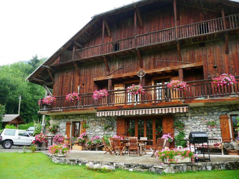
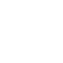
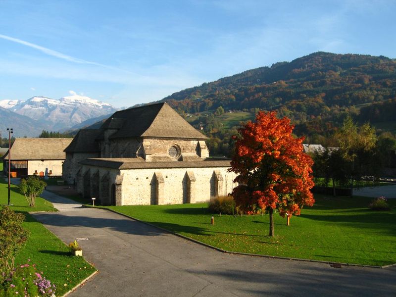
A hike to explore the villages in the south of Giffre Valley, where the traditional Savoyard dwellings have been preserved. On the way back you’ll walk along the Art and Nature Trail alongside the Giffre.
The characteristics of the route.
Taninges (74)
- Distance 15.9 km
- Elevation gain 540 m
- Elevation lost 540 m
- Min. elevation 621 m
- Max. elevation. 924 m
- Duration (depending on pace) 4h
- Marking Yes
Equipments : Car park, Public WC, Admission fee : Free access.Opening : All year round.
Subject to favorable snow and weather conditions.
Read before you go!
Adapt your equipment according to your level and the weather. Do not leave the marked trails.
Adapt your equipment according to your level and the weather. Do not leave the marked trails.
Area : Taninges
Report a problem 1 comment
Boucle des villages traditionnels Pdf file Antho_Trail
finished in 01:45:00
The 2022/02/13
En savoir plus
Gach2007
The 2023/08/28
En savoir plus
Ajouter votre chrono et partager vos sensations
2022/02/13 01:45:00
Antho_Trail
Antho_Trail
Partie verglacé le long de la rivière et sec en montagne
2023/08/28 Gach2007
Randonnée superbe malgré un incident sur le pont en bois situé dans le bois de Jutteninges suite à une chute (glissade sur le pont), une amie avec qui je randonnais est tombée et a tapé sa tête sur les grosses pierres. Ne serait-il pas possible de fixer sur ce pont un petit grillage antidérapant afin d’éviter toute chute.


Information updated on 2024-04-23 by Praz de Lys Sommand Tourisme


Follow us on
the digital trails
the digital trails


![]()
Infos & contacts
Praz de Lys Sommand Tourisme
www.prazdelys-sommand.com
04.50.34.25.05
accueil@prazdelys-sommand.com


OK
Annuler