“Au fil du Giffre” green path
Add to my favorites

Route opened
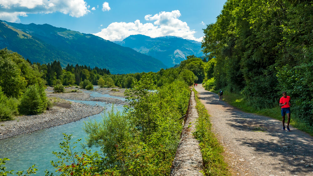
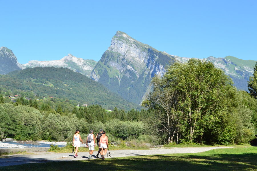
The easy-going “Au Fil du Giffre” trail is the ideal exploration of the valley, through a superb natural environment...
The characteristics of the route.
Taninges (74)
- Distance 23.1 km
- Elevation gain 390 m
- Elevation lost 100 m
- Min. elevation 622 m
- Max. elevation. 913 m
- Duration (depending on pace) 13h
- Marking Yes
You will be taken by surprise on this revitalising walk alongside this river that flows down from the mountains, with waters that are sometimes calm and sometimes rough, depending on the weather and the seasons.
Away from the cars, by foot, bicycle or on horseback, with family or friends, everyone can explore the wonders of the Giffre Mountains at their own pace.Equipments : Car park, Admission fee : Free access.Opening : All year round. Subject to favorable snow and weather conditions.
Away from the cars, by foot, bicycle or on horseback, with family or friends, everyone can explore the wonders of the Giffre Mountains at their own pace.Equipments : Car park, Admission fee : Free access.Opening : All year round. Subject to favorable snow and weather conditions.
Read before you go!
Animals kept on a lead.
Animals kept on a lead.
Area : Taninges
Report a problem Add a comment
"Au fil du Giffre" Pdf file
Add your time and share your feelings


Information updated on 2024-06-27 by Praz de Lys Sommand Tourisme


Follow us on
the digital trails
the digital trails


![]()
Infos & contacts
Praz de Lys Sommand Tourisme
www.prazdelys-sommand.com
04.50.34.25.05
accueil@prazdelys-sommand.com


OK
Annuler