Montée des Pavés Challenge
Add to my favorites

Travaux forestiers à hauteur de "Sur Magnin" en amont et en aval de la RD 307
Route closed
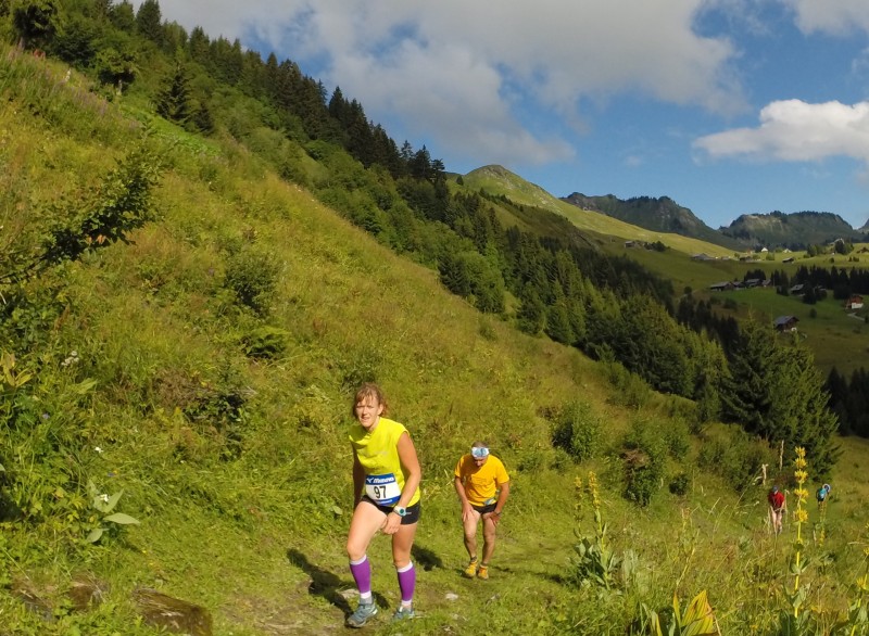
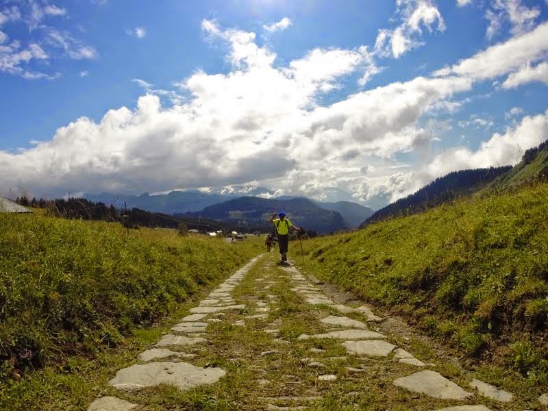
Take on the Challenge, go up the stone path from the old town of Taninges to the Praz de Lys pastures 1,000 m higher up!
The podium
Olivier - Team Trace de Trail
finished in 00:50:18
The 2016/07/19
Olivier - Team Trace de Trail
finished in 00:48:28
The 2016/08/04
Pollien
finished in 00:51:49
The 2016/08/10
The characteristics of the route.

Taninges (74)
- Distance 6.39 km
- Elevation gain 855 m
- Elevation lost 55 m
- Min. elevation 646 m
- Max. elevation. 1499 m
- Marking hiking marking signs
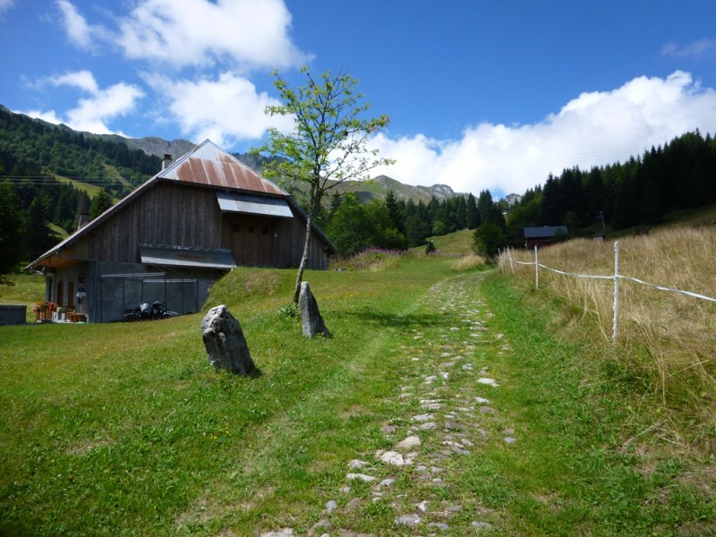
These stones were laid according to Roman techniques and the path was first used in the Middle Ages by the monks from the Chartreuse de Mélan to access Praz de Lys pastures 1,000m further up. For a long time, this was the only access to Praz de Lys. Along this itinerary, the landscapes are varied, between the villages, forests and pastures, as well as some magnificent viewpoints from the heights of Taninges and Praz de Lys, over the Mont-Blanc and Chablais mountains.
The "Montée des Pavés" is also a running race organized every last sunday of july (12km, 8 km or popular walk).
Area : Taninges
Report a problem Add a comment
2016/08/04 00:48:28
Olivier - Team Trace de Trail
Olivier - Team Trace de Trail
2016/07/19 00:50:18
Olivier - Team Trace de Trail
Olivier - Team Trace de Trail
2016/08/10 00:51:49
Pollien
Pollien
2022/05/30 00:51:51
Nebrodi88
Nebrodi88
Parcours non balisé , les bornes gps/Bluetooth ne fonctionnent
2016/07/22 01:00:00
Fleur
Fleur
2016/09/18 01:01:44
Karl
Karl
2016/09/11 01:04:16
Karl
Karl
2017/07/01 01:04:26
Karl
Karl


Follow us on
the digital trails
the digital trails


![]()
Infos & contacts
Praz de Lys Sommand Tourisme
www.prazdelys-sommand.com
04.50.34.25.05
accueil@prazdelys-sommand.com


OK
Annuler